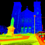
ESI is a leader in industrial surveying and engineering services. In order to bring the highest standard and cost saving practice to our clients, ESI Offers 3D Laser Scanning services from both our Halifax and St. John’s Offices. ESI utilizes the latest technology in 3D laser scanning in which our Leica scanners can easily be mobilized and on site anywhere in the world.
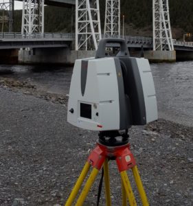
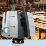
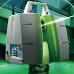
ESI’s new Leica P40 scanner provides the most efficient data collection practice for modeling complex structures, site modeling, and industrial surveying. This scanning technology provides the benefit of reducing or even eliminating return visits as the whole site is surveyed the first time around. The result of using laser scanning technology is the reduction of factory down time as our survey can be conducted in unprecedented time while still maintaining the highest accuracy level.
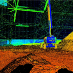
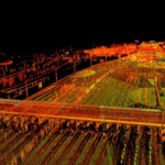
Our Leica P40 scanner employs phase-based laser scanning technology to scan target areas and return 3D point clouds with millimetre accuracy. Additionally, the scans can be integrated with photos to provide RGB values for each point; producing 3D photo realistic point clouds. The other major benefit in using 3D scanning technology is increased safety by reducing exposure times in data collection, especially in dangerous working environments.
Applications
Reverse Engineering “As-built Surveys”
Laser scanning technology can be used to capture a high density 3D point cloud of a pre-existing component such as piping or equipment in order to generate an as-built model. These models can be utilized by engineers prior to installation upgrades for front end engineering purposes.
Ship building
Laser scanning is an effective method for capturing the actual shape of a hull. The scan can then be used to check actual dimensions versus design dimensions. Laser scanning is also valuable in hull deformation monitoring during repairs, and like-for-like surveys of piping and equipment.
Pipe work
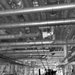
Laser scanning is ideal for surveying existing pipe work and modeling within a CAD environment. Models can be used with proposed pipe lines for clash detection. Laser scanning also enables the accurate modeling of existing pipe work and can be used to determine dimensions of replacement pieces and parts.
Civil Engineering
Laser Scanning can be utilized within civil engineering in a number of ways; from the generation of high resolution Digital Surface Models (DSM) used in volume calculations of stock piles, to the precise location of features within the job site. In addition, laser scans can even model potential obstructions and view sheds.
Transportation
Using laser scanning for highway design can provide many benefits, such as the ability to survey during heavy traffic times without placing surveyors in the roadway and without closing the road. Laser scanning can be used for creating as-built drawings of bridges to assist in modifications, collection of data for storm simulations to evaluate the flooding and ponding effects of current and proposed drainage structures. Laser scanning also provides an excellent method for rebar inspection, assessing pot holes, and inspecting roads for rutting.
Forensics
Forensic information from real-world scenes can be captured using laser scanning. The Laser scanner captures a 3D data model of the crime scene and can be exported to specialized software to visually examine scenes to determine causes and sequence of events. The laser scanner scans the whole scene and the precise 3D location and orientation of evidence is captured. Since the whole scene is captured with the scan, this can eliminate return visits to the site for additional measurements. For more information click on this link Forensics & Public Safty – Leica Geosystems.
Historical Sites
Laser scanning is the ideal source of data collection for inventory documentation in civil structural engineering and architectural recordings. Laser scanning enables the accurate recording of 3D points used in preserving the original architecture of heritage sites before restorations projects begin. In addition to engineering purposes, these scans can be used to produce 3D photo-realistic models used for an array of imaging ideas such as marketing and education. For more information refer to Leica Geosystems
Benefits
- Higher Density of Data points
- Surveys the Whole Site
- Reducing or Even Eliminating Return Visits
- Increased Surveying Speed
- Reduction of Factory Down Time
- Increased Safety
- No remote access required. Exposure time to hazardous environments reduced

